
The Kea Archaeological Research Survey (KARS)
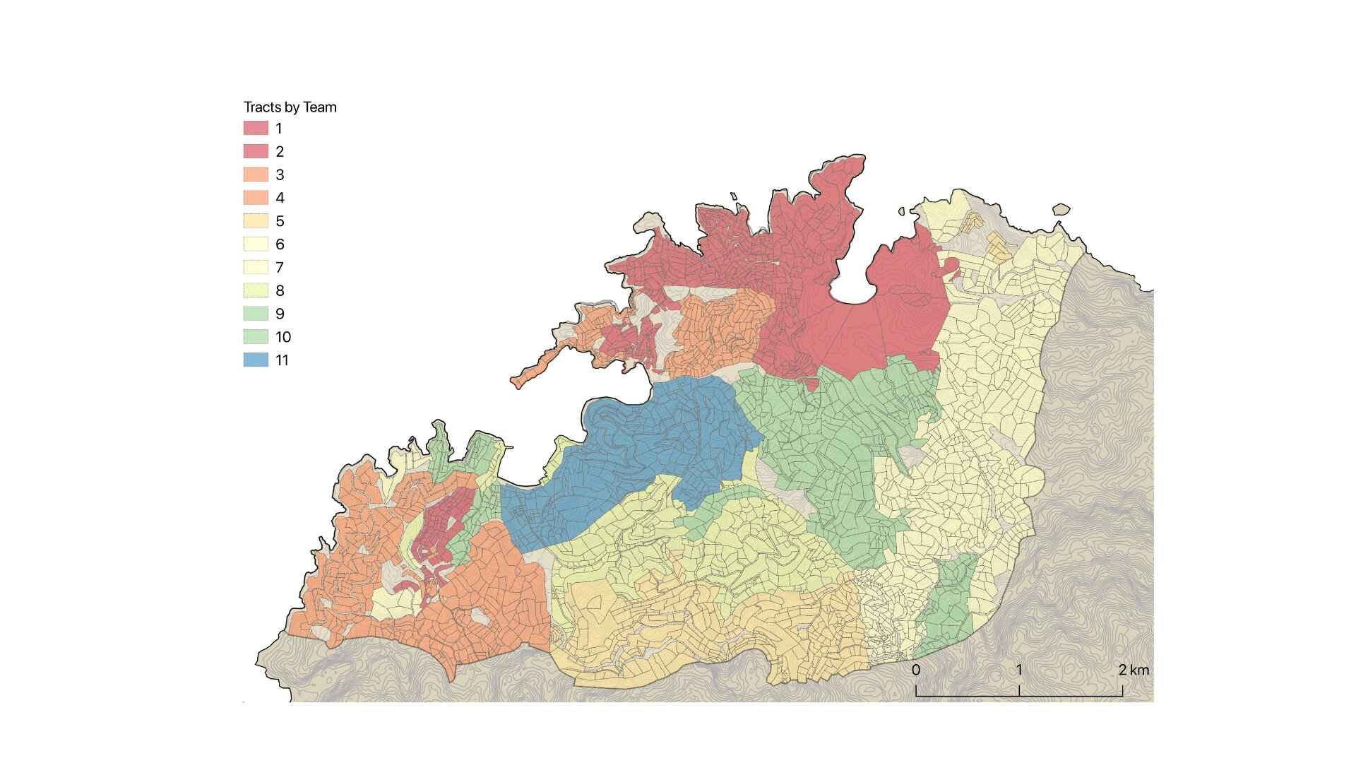
During three summers, 2012-2014, the Kea Archaeological Research Survey (KARS) completed a pedestrian surface survey in Northwest Kea covering the area examined in 1983-1984 by Cherry, Davis, and Mantzourani (1991, 14-17) (Figs. 1 & 2) and includes several well-known sites: the Neolithic sites of Kephala and Paouras, the Bronze Age site of Ayia Irini, the polis area of Korissia, and part of the Classical polis area of Ioulis (Caskey 1971, 1972; Coleman 1977; Cherry et al. 1991, 16). Our project connects with several major debates: the issues of replication studies in sciences; the accuracy of survey data; the low number of Bronze Age sites on Kea; and the complex role of Kea in geo-political networks. Within this framework, the goals of KARS are to test the reliability of intensive survey data in order to assess if it has lasting archaeological value; to increase the sample size in comparison with that taken by Cherry, Davis, and Mantzourani in order to address the enigmatic and notable lack of Bronze Age sites outside of the immediate Ayia Irini area; and to perform macro- and microscopic analysis on the ceramic, metal, and lithic artifacts to elucidate diachronically Kea’s role in trade networks of the area and its role in the geopolitical landscape. Since 2015 we have been studying the thousands of finds from the survey.


The intensive and systematic nature of the 1983-1984 survey on Kea, the small size of the area covered, and the detailed publication of the data make Northwestern Kea an ideal case study to assess the validity of survey methodologies. Moreover, thanks to the generosity of Cherry, Davis, Mantzourani, and Whitelaw, we have access to the original survey data, a key component for enabling replication studies, as discussed above. During the thirty years since Cherry, Davis, and Mantzourani’s survey was conducted on Kea much of the activity on the island has changed; more houses are being built along the coast, and less farming is being practiced in the fields (Whitelaw 1991, 1994). We should, therefore, expect to see some changes in the visibility and distribution of sites. By surveying Kea using similar methodologies as the original surveyors, this project will be a progression of the earlier survey and will show if we can still recreate a similar picture of the ancient landscape thirty years later. This replication study is the first project of its type in Greece.
Sampling and Collection Methodology
During our field seasons (2012-2014) we had two collection phases: Phase I, which was the initial exploration of an area, and Phase II, a more intensive collection at areas of interest. In Phase I, the standard spatial interval between walkers in each tract was 15m apart (Fig. 3). In keeping with the practice of the 1983-1984 survey, however, this interval was increased when the teams were walking on collapsed terraces or in extremely dense, spiky vegetation with low visibility (Cherry et al. 1991, 22-25). In Phase I, walkers collected all sherds with diagnostic shape or decorative features, all lithics, all slag, and a sample of each ceramic fabric not represented in the diagnostics; walkers also provided a count of all the sherds that they saw. In tracts with extremely high densities of pottery, only one in five or ten diagnostics were brought back to the apotheke, but all sherds were included in the full count. This collection strategy led to us collecting a larger sample of artifacts than the 1983 survey, which we discuss below. We primarily conducted a Phase II collection on any area with a density of cultural remains, but we also targeted areas that yielded lithics or other prehistoric material (Fig. 2). In Phase II, we conducted two different types of collections: laying out either a grid or a cross over the area of a density. The grid was employed so that we could have a more spatially refined view of the larger sites, such as Kephala and Paouras (Fig. 4). Crosses were better suited to the smaller sites, where they were effective and efficient (Fig. 5).


We also conducted some grid collections at smaller sites to ascertain if that would give us a more granular view of the distribution or function of the sites, but preliminary results on that suggest not (Fig. 6). In both methods, grids and crosses, we continued laying out the collection area until we reached an area free from artifacts as determined by two successive empty vacuums. In the grids, the walkers conducted a timed vacuum and grab. The vacuum circles in the 10m squared grid squares were 1.26m in radius; in the larger squares they were doubled, and in the smaller squares they were halved. The walker in the vacuum circle bagged all cultural material, while the walker in the grab area collected all diagnostics and a sample of pottery fabrics, and they counted as much cultural material as they could see - a procedure consistent with our standard project sampling method. In order to explore issues of settlement patterns and comparability and connection to off-island locales more thoroughly, we increased the size of the artifact sample collected in each collection phase. The 1983 survey collected only diagnostic pottery, which was based on decoration and shape, and did not collect any lithics or slags, as per the conditions of their permit (Cherry et al. 1991, 27, 30). We collected all the lithics and slags and, to counter walker-bias and possibly identify sourcing patterns in the ceramics, we increased the sample of ceramics collected, as described below (Fig. 6a). We are currently conducting macroscopic analysis on all finds, and we will also conduct microscopic and chemical analysis on a sample of the slags, lithics, and ceramics in order to source their origins and model patterns of trade and contact. (Fig. 7)


Preliminary Conclusions
Although we are still studying the pottery and refining our results, this brief overview of the background methods and preliminary results for the Bronze Age shows that surveying areas already surveyed can yield interesting and informative results. We have demonstrated that many of the results of the previous survey were replicable by our study, and one of its major conclusions--that there is no major Bronze Age town outside of Ayia Irini in northwestern Kea--is still clearly valid. In addition, both surveys discovered scattered prehistoric artifacts outside of Ayia Irini, often in what seem to be very similar locations, despite the fact that only a few prehistoric artifacts were recovered in such places by either study. Additional analysis will enable us to demonstrate these correspondences with greater precision. By using a methodology similar to the previous survey, we have also been able to show that the landscape is dynamic. Changes in the landscape have helped reveal more areas with evidence for prehistoric activity than previously known and, probably, to obscure others. In addition, we have been able to demonstrate that there is more variability in the kinds of prehistoric ceramic wares present in the landscape than was recognized by the previous survey (Fig. 7a). The discovery of burnished tablewares suggests activities other than storage and cooking, which were the dominant wares found by the previous survey (Fig. 8). The presence of imported fabrics also suggests that although Ayia Irini was the major hub for the consumption of non-local products on the island, such products were also at least occasionally transported to--and presumably used in--other parts of northwest Kea (Figs 9 & 10).


Website at UNCG: https://classics.uncg.edu/kea/
Directors
Joanne M. A. Murphy, PhD (University of North Carolina, Greensboro)
Amanda Kelly, PhD (University College Dublin)
Shannon L. Hogue, PhD (University of Massachusetts, Amherst)
Staff
John Wallrodt (University of Cincinnati) - Computer and Mapping Specialist
Jenny Moody, PhD (Independent Scholar) - Environmental and Landscape Studies
Margarita Nazou, PhD (University College London) - Neolithic Pottery
Natalie Abell, PhD (University of Michigan) - Early and Middle Bronze Age Pottery
Christina Papoulia, PhD (University of Rethymnon) - Lithics
Myrto Georgakopoulou, PhD (UCL Qatar) - Metals